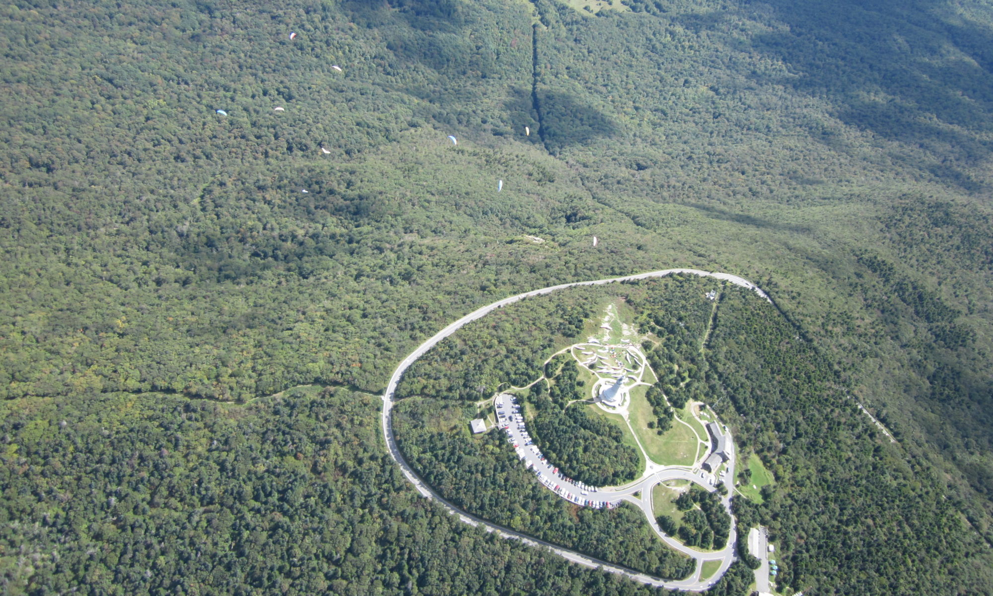
North Adams, Massachusetts
| Latest News | The site is open. |
| Skill Level | HG & PG skills equal to USHPA Intermediate with Cliff signoff and exceptional ground handling skills. |
| Launch Type | Slight slope to cliff |
| Wind Direction | NW WSW to NNW possible |
| Launch | 42°42'00.9"N 73°03'53.4"W or 42.700238, -73.064830 |
| Launch MSL | 2170ft |
| Primary LZ | 42°39'35.4"N 73°06'08.3"W or 42.659842, -73.102316 |
| Vertical to LZ | 1400ft, or a 13:1 glide |
| Bailout | With the passing of Brooks Ellison, technically no one has permission to trespass (land or stash cars) in the field below launch, AKA Cirrus Field. Your patience is appreciated while title passes through probate and long term plans get moving. |
| Access Winter | Short 2WD dirt road to towers. Winter access possible if not drifted in |
| Fees | None |
| Driving Directions | Rt2 in North Adams, access road to radio towers is on north side of Rt2 on ridge on top of hairpin turn section. |
| Contacts | City Liaison - Gary Trudeau (413) 822-4860 Matt Carr 413-477-0199 Mark Droy 413-221-2053 |
| Restrictions | Launch is on city property - No camping, fires, littering, or tree/bush cutting. |
| Notes | Mohawk Trail is located just north of Rt.2 about 4.5 road miles from North Adams, Massachusetts near the Western Summit. Do not block access to towers or gates. Park across Rt 2 from tower access road if needed. Launch is about 200 yards north of towers, a grass and rock slope. Primary LZ is "Amy's Field" behind McCann High School. |
