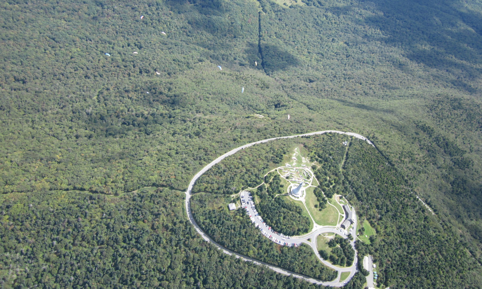
Adams, Massachusetts
| Latest News | Road to top of Greylock is closed for season until mid-May2025. |
| Skill Level | HG & PG skills equal to USHPA Advanced rating. |
| Launch Type | Slope |
| Wind Direction | East NE to SSE possible |
| Launch | 42°38'12.3"N 73°09'54.9"W or 42.636757, -73.16525 |
| Launch MSL | 3480ft |
| HG LZ- Amy's | 42°39'35.4"N 73°06'08.3"W or 42.659842, -73.102316 |
| Vertical to Amy's | 2760ft or 6.8/1 glide |
| PG LZ - Greylock Glen | 42°37'41.6"N 73°08'20.0"W or 42.628215, -73.138899 |
| Vertical to the Glen | 2300ft or 3.4/1 glide |
| Access Winter | 2WD paved access road to top, open dawn to dusk. Park closed late Oct to mid-May. |
| Fees | There is usually a parking fee. Season Pass available, as well as lifetime pass for 60+. |
| Driving Directions | Take Rt 8 up from Pittsfield, or Rt2 over from Boston. |
| Contacts | State Liaison - Gary Trudeau (413) 822-4860 |
| Restrictions | Must sign in at Parking hut each flying day and sign permit/waiver once per calendar year. NO TOP LANDINGS. No commercial tandem. |
| Notes | Mount Greylock is in the Mount Greylock State Reservation, Adams, Massachusetts. A paved road leads to within 100 yards of launch Primary LZ is "Amy's Field" behind the McCann trade school. Greylock Glen LZ is directly below launch. Do NOT use the old "Gould's Farm" Field south of the Glen. |
