Main Page


Notice:

Aviation is a dangerous activity where injury as well as loss of life may occur. Safety always depends primarily on the skill, judgement, and preparation of the pilot, and nothing contained herein should suggest that any aviation activities are safe, nor grant permission to trespass anywhere. Free flight includes the pilot taking full responsibility for their safety and the safety of crew and onlookers. 

“Launch is optional. Landing is not.”

“It’s better to be on the ground wishing you were in the air, than in the air wishing you were on the ground.”

“Airspeed. Altitude. Brains. You need two out of three.”


Our mission:

  • Represent local and regional pilots in meetings with local, state, and national entities that may regulate the sport or sites at which it is practiced.
  • Educate the general public about the sport of Hang Gliding
  • Enforce safe flying procedures.

Mohawk Trail

North Adams, Massachusetts


Latest NewsThe site is open.
Skill LevelHG & PG skills equal to USHPA Intermediate with Cliff signoff and exceptional ground handling skills.
Launch TypeSlight slope to cliff
Wind DirectionNW

WSW to NNW possible
Launch42°42'00.9"N 73°03'53.4"W
or 42.700238, -73.064830
Launch MSL2170ft
Primary LZ42°39'35.4"N 73°06'08.3"W
or 42.659842, -73.102316
Vertical to LZ1400ft, or a 13:1 glide
BailoutWith the passing of Brooks Ellison, technically no one has permission to trespass (land or stash cars) in the field below launch, AKA Cirrus Field. Your patience is appreciated while title passes through probate and long term plans get moving.
Access

Winter
Short 2WD dirt road to towers.

Winter access possible if not drifted in
FeesNone
Driving DirectionsRt2 in North Adams, access road to radio towers is on north side of Rt2 on ridge on top of hairpin turn section.
ContactsCity Liaison -
Gary Trudeau (413) 822-4860

Matt Carr 413-477-0199

Mark Droy 413-221-2053
RestrictionsLaunch is on city property - No camping, fires, littering, or tree/bush cutting.
NotesMohawk Trail is located just north of Rt.2 about 4.5 road miles from North Adams, Massachusetts near the Western Summit. Do not block access to towers or gates. Park across Rt 2 from tower access road if needed. Launch is about 200 yards north of towers, a grass and rock slope.

Primary LZ is "Amy's Field" behind McCann High School.


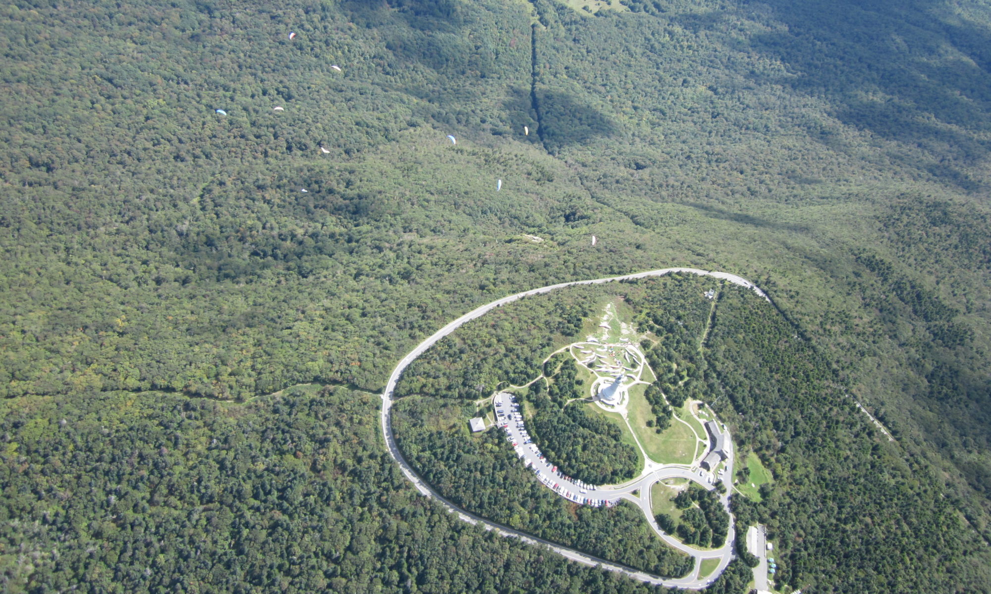
Greylock

Adams, Massachusetts

Latest NewsRoad to top of Greylock is closed for season until mid-May2025.
Skill LevelHG & PG skills equal to USHPA Advanced rating.
Launch TypeSlope
Wind DirectionEast

NE to SSE possible
Launch42°38'12.3"N 73°09'54.9"W
or 42.636757, -73.16525
Launch MSL3480ft
HG LZ- Amy's42°39'35.4"N 73°06'08.3"W
or 42.659842, -73.102316
Vertical to Amy's2760ft or 6.8/1 glide
PG LZ - Greylock Glen42°37'41.6"N 73°08'20.0"W
or 42.628215, -73.138899
Vertical to the Glen2300ft or 3.4/1 glide
Access

Winter
2WD paved access road to top, open dawn to dusk. Park closed late Oct to mid-May.
FeesThere is usually a parking fee.
Season Pass available, as well as lifetime pass for 60+.
Driving DirectionsTake Rt 8 up from Pittsfield, or Rt2 over from Boston.
ContactsState Liaison - Gary Trudeau (413) 822-4860


RestrictionsMust sign in at Parking hut each flying day and sign permit/waiver once per calendar year. NO TOP LANDINGS. No commercial tandem.
NotesMount Greylock is in the Mount Greylock State Reservation, Adams, Massachusetts. A paved road leads to within 100 yards of launch

Primary LZ is "Amy's Field" behind the McCann trade school.

Greylock Glen LZ is directly below launch. Do NOT use the old "Gould's Farm" Field south of the Glen.

Skinner State Park

Hadley, Massachusetts

Latest NewsSkinner has not been flown by HG for a while. PG fly there occasionally. The trees below launch still present a significant hazard if you don't launch and fly away. The book is still by the maintenance shed as of Spring2024.
There are some years when all area landing fields are planted with corn, making the site difficult to use in the Summer and early Fall. Don't damage crops.
Skill LevelHG & PG skills equal to USHPA Intermediate.
Launch TypeLevel to cliff launch in treed slot. Trees below launch make this a risky launch site.
Wind DirectionNW
WSW-N possible
Launch42°17'52.0"N 72°35'33.7"W
or 42.297789, -72.592680
Launch MSL984ft
LZ42°17'51.0"N 72°36'10.9"W
or 42.297510, -72.603039
Vertical to LZ732ft or 3.8/1 glide
Access

Winter
2WD paved road to Hotel area, 550yd walk on ridge trail to launch.
Closed early Nov to mid-May. Typical summer hours are 9am-8pm
FeesThere is a parking fee, with mobileapp/kiosks. Season Pass available, as well as a lifetime pass for 60+.
Driving DirectionsTake Rt47 south off of Rt. 9 in Hadley
ContactsFormer State Liaison - Mark Droy 413-221-2053
RestrictionsMust sign in each flying day and sign waiver once per calendar year. Use Lockbox by the side entrance of the Maintenance Barn at the Half-Way Area.
NotesSkinner State Park encompasses much of the mountain known as Mt. Holyoke or Mitch's Mountain. Very shallow launch in treed slot requires a good breeze to get up and away. Very soarable, but cross-country difficult due to multiple airports nearby. Watch for air traffic and don't violate restricted air space. Have your vehicle outside the gate 1/2 hour before closing. Don't buzz Hotel area.

Other site and Club Info

Schools and towing:

http://www.HANGGLIDENEWENGLAND.COM   Towing and Training operation at Tanner-Hiller Airport, New Braintree, Massachusetts

http://www.NEPHC.ORG   For Mt Tom and sites in eastern Massachusetts

http://www.VHGA.aero   For Vermont and New Hampshire sites

http://flymorningside.kittyhawk.com/ School and flight park in New Hampshire

http://www.CT-HANGGLIDING.ORG   Connecticut Hang Gliding Club

http://www.MTNWINGS.com/ and https://ELLENVILLEFLIGHTPARK.com/    Ellenville, NY